Learning Objective:
- To be able to locate China and it's main cities on a map.
- To learn about China's environmental regions
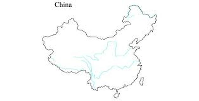
Starter: Find China on the map and label it clearly.
Extension task: Try and label Beijing, Shanghai, Tianjin and any other big cities that you may know.
Extension task: Try and label Beijing, Shanghai, Tianjin and any other big cities that you may know.
Main body of the lesson:
(Create a spider diagram of all the environmental regions in China. Do this task in pairs.)
Environmental Regions:
(Create a spider diagram of all the environmental regions in China. Do this task in pairs.)
Environmental Regions:
- Taiga (Coniferous forests) and steppe (grasslands) are found in north-east China including the Manchurian Plain, which covers an area of 350,000 km2.
- The North China Plain is a lowland area in eastern China that covers an area of 409,500 km2. There is a sub-tropical monsoon climate with cold,dry winters and hot,wet summers. This is a major agricultural region where wheat, cotton, peanuts, tea, rice and tobacco are grown.
- Tropical rainforest is found in south-east China. On Hainan island, China's southern most point, over 3000 species of plants and more than 4700 species of animals have been recorded.
- North-west China contains two major cold deserts, the Gobi desert and the Taklamakan desert. The Gobi desert is 1.3 million km2. Temperatures can vary from -40 degrees celsius to 40 degrees celsius. It receives an average of 194mm of precipitation a year, some of this being in the form of snow.
- The Tibetan Plateau is in south-west China. It is over 4500m above sea level and covers 2.5 million km2 (four times the area of France). It is an area of alpine tundra characterised by grasses and low shrubs, with wildlife such as bears, marmots and yaks.
Plenary:
Show diagrams to the rest of the class and explain findings.
Show diagrams to the rest of the class and explain findings.
